Ogc
Advertisement
Ossimplanet v.1. 8. 2004
Building on top of OSSIM and OpenSceneGraph capabilities, ossimPlanet is a rapidly evolving project for accurate, high performance, 3D Geo-spatial visualization.
Advertisement
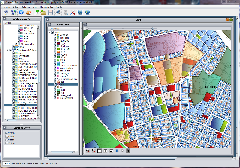
GvSIG desktop v.2.0.0.2023
gvSIG Desktop is a powerful geographic information system (GIS) designed to offer a free solution to all needs related to geographic information management.
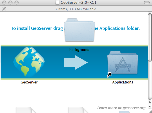
GeoServer v.2.2.3
GeoServer is an Open Source server that will allow you to connect your information to the Geospatial Web.
NetSupport DNA Helpdesk v.3.1.1.150
DNA Helpdesk is a strong yet user-friendly helpdesk application. DNA Helpdesk is a fully Web based solution providing detailed recording and tracking of user Help Requests. Features include:
Quantum GIS v.1.8.0
Cross-platform and user friendly Open Source Geographic Information System (GIS). Quantum GIS (QGIS) is a user friendly Open Source Geographic Information System (GIS) that runs on Linux, Unix, Mac OSX, and Windows. QGIS supports vector, raster,
Advanced Points Manager v.1.0
The Advanced points manager imports points to AutoCAD drawing from different data sources. OLE-DB database, SHP (ESRI shape file), GPX (GPS eXchange format), KML (Keyhole Markup Language), GML (Geography Markup Language), TXT, CSV.
World Wind Web Service Catalogs v.1.0
Provides easy access to geospatial imagery via web service catalogs. World Wind Web Service Catalogs offer you access to geospatial imagery with the aid of web service catalogs. NASAs Earth Science Gateway catalog,
GeoServer for Mac v.2.2.3
GeoServer for Mac is an Open Source server that will allow you to connect your information to the Geospatial Web.
GeoServer for Linux v.2.2.3
GeoServer for Linux is an Open Source server that will allow you to connect your information to the Geospatial Web.